
Abaddon
 26. 04. 2024

 25. 01. 2019

Map Madaby is the oldest known and still existing mosaic map of the Holy Land.
This beautiful and very varied work of experienced artists (or perhaps cartographers) who have skills and biblical knowledge shows the exact locations of the area from Tir in the north to the Egyptian delta in the south, with all the mountains, rivers and large cities.
Map was created between 542 and 570. It can be found on the floor basilica sv. George in Madaba (or "Mosaic City") in Jordan, just 15 kilometers southeast of the northern part of the Dead Sea. The first settlements were established here in the 4th millennium BC. Madaba had a long and tumultuous history. It was constantly conquered by various enemies.
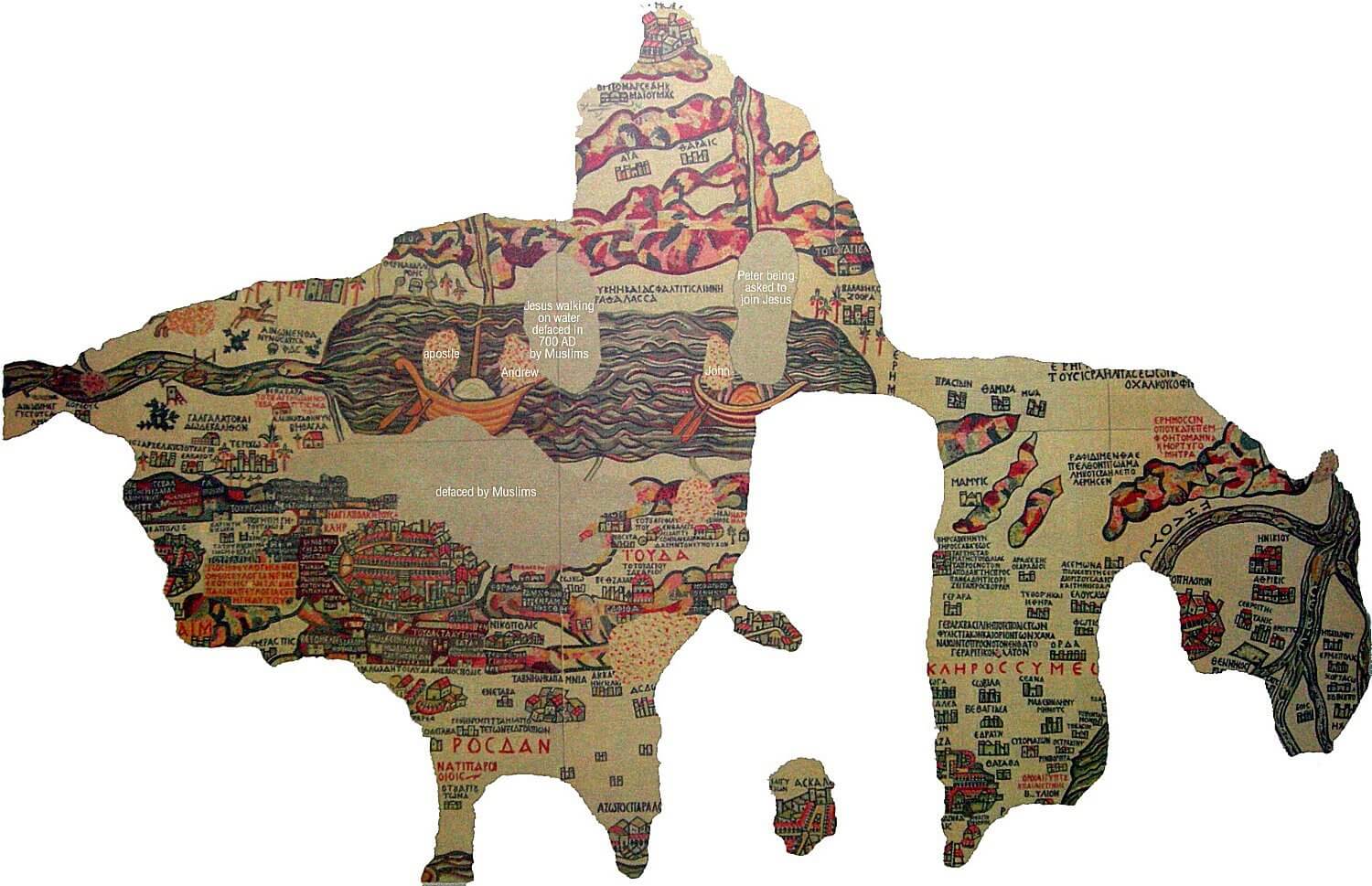
The map was created during the reign of Emperor Justinian 527-565 nl. It was made from 2 million colored dice and measured about 15,5 meters x 6 meters. Current map remnants consist of 750 000 cubes of 10,5 mx 5 size and 150 Greek inscriptions in different sizes.
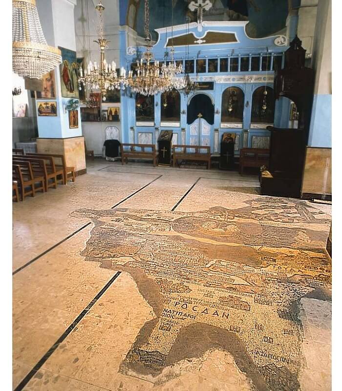
Map on the floor of St. George's Basilica in the "Mosaic City" in Jordan.
In the center of the map is Jerusalem. The anonymous artist accurately visualized the buildings of the Old City, the gate and the building. For example, it is clearly displayed here the temple of the grave of God.
Archaeological excavations conducted in 2010 further confirmed the accuracy of the map by discovering the road map displayed. It passes through the center of Jerusalem.
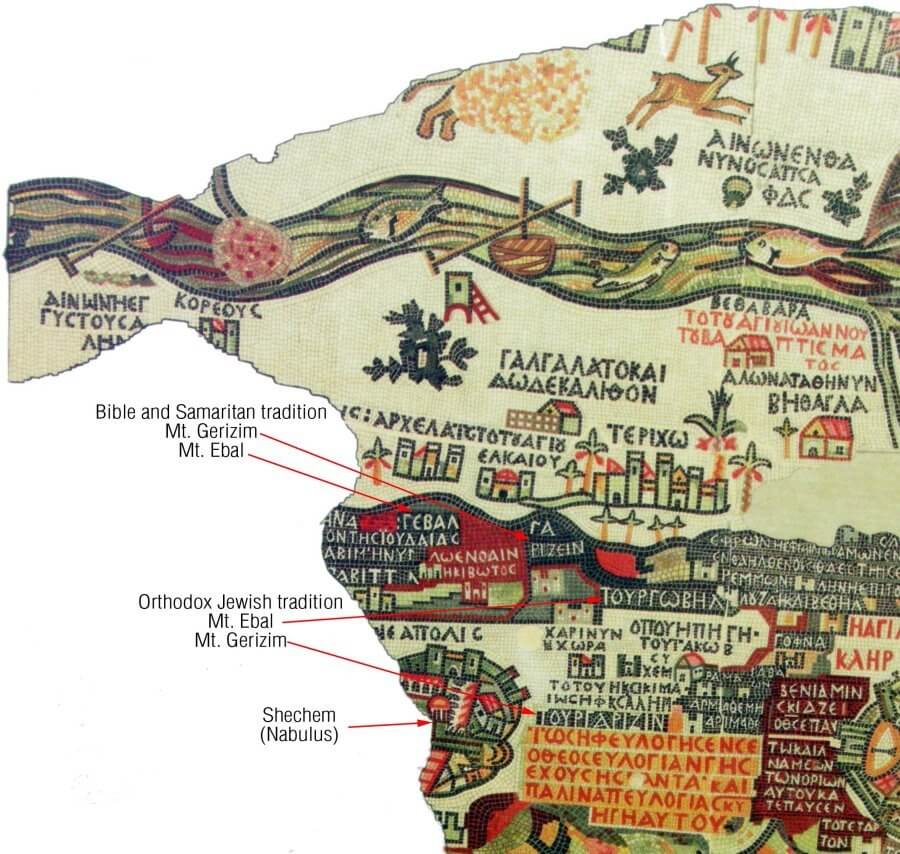
All objects on the map are described in Greek. In 1965-1966 the map was newly described by German archaeologists.
 1
1